Geological Exploration Software
Project category:
Software · Business
- Date: 2008
- Country: Russia
Scope of work
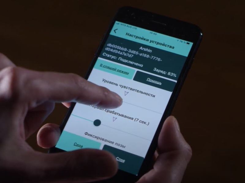
- Development of a library for interaction with a terrain scanning device
- Development of a program for the management of geological exploration of the area
- Technical support
About GeoScanner
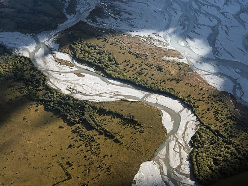
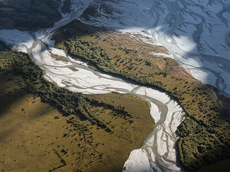
The program is used for geological exploration of the area and is designed to control the scanning device, scan the area, save and process the received data. Reconnaissance is carried out by an operator from an aircraft, such as a helicopter. After scanning, the program displays graphs, and allows you to save data as a report and export to other formats, such as dBase (*.dbf), "Selection" (*.pod), maps (*.dat).
